|
||
|
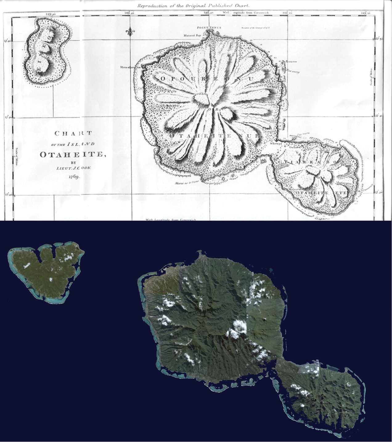
Early taxonomists had only crude maps to plot the locations of their specimens; in this case the French Polynesian islands of Tahiti and Moorea (top, from Prévost D’Exiles 1746–1789). Today, highly accurate maps and satellite imagery can pinpoint particular locations within a few meters (bottom, Landsat). |