|
||
|
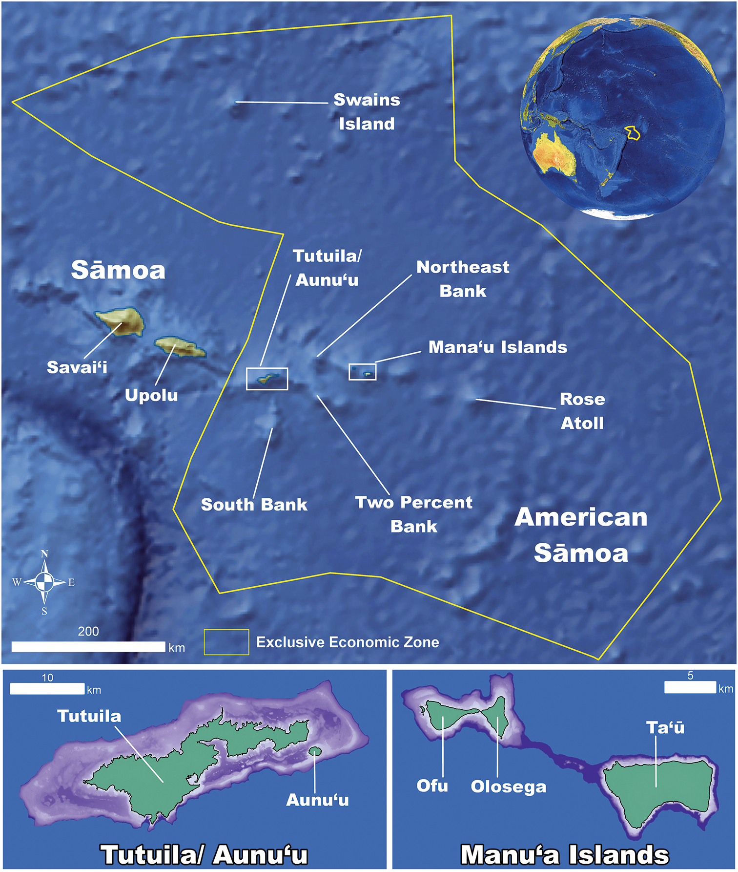
Map of American Sāmoa. A map of American Sāmoa showing its proximity to Independent Sāmoa and the distances between all the island groups (in green) and shallow (< 150 meter depth) banks (in purple) within the territory. |
|
||||||||
| Part of: Montgomery AD, Fenner D, Toonen RJ (2019) Annotated checklist for stony corals of American Sāmoa with reference to mesophotic depth records. ZooKeys 849: 1-170. https://doi.org/10.3897/zookeys.849.34763 |