|
||
|
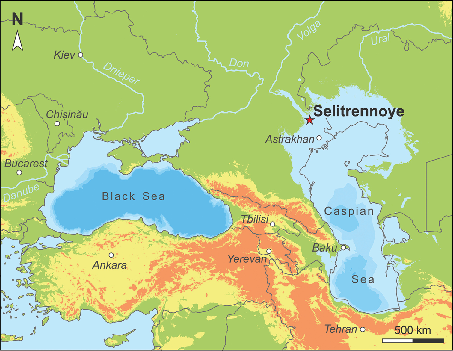
Geographic overview of the Pontocaspian region, with indication of the extent of the late Khazarian (early Late Pleistocene) transgression. The star marks Selitrennoye. Paleo-lake level was modeled in ESRI ArcGIS 10.4 based on Yanina (2014), who suggested an absolute lake level of 10 m b.s.l. at that time. Considering the present Caspian base level of 27 m b.s.l., this estimate corresponds to a lake level rise of 17 m. (Note that the model is restricted to the Pontocaspian catchment area and disregards potential topographic differences.) The bathymetry ranges are based on the GEBCO_2014 model (version 20150318) for present-day (Weatherall et al. 2015); shown isobaths equal to 100, 500 and 1000 m below current lake level. |