|
||
|
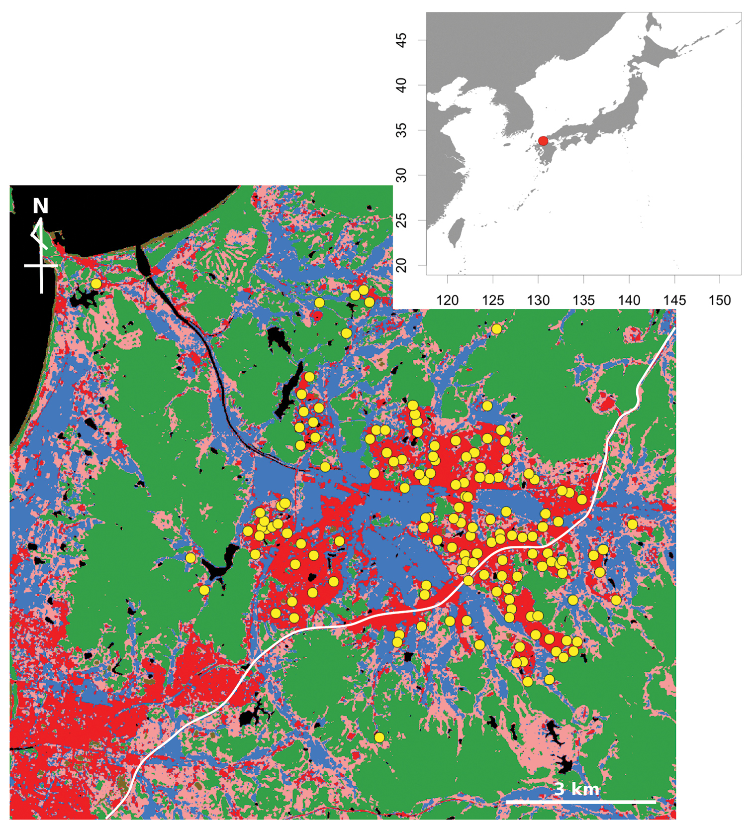
Location of Munakata city (red circle in the top right map) and map of the study area. Yellow circles represent sampling sites (parks). Blue denotes rice paddy; red denotes residential region; pink denotes grass; green denotes forest; the white line is Japan National Route 3. The map was created by modifying the high resolution land-use and land-cover map ver16.02 (http://www.eorc.jaxa.jp/ALOS/lulc/jlulc_jpn.htm). |