|
||
|
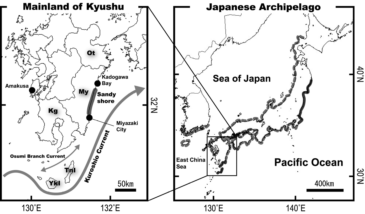
Conventional information on the distributional range of the two species of Chaenogobius (sensu Akihito et al. 2013 and Kwun et al. 2017) and a map of mainland Kyushu, southern Japan, showing the position of a long sandy shore on the eastern coast of Kyushu (a bold gray line on left-hand map). The grey-dash and solid lines on the Japanese Archipelago with adjacent areas (right-hand map) indicate the distributional range shared by the two species and that of only C. annularis respectively. Abbreviations for prefecture and island names mentioned in the text are as follows: Ot Oita Prefecture My Miyazaki Prefecture Kg Kagoshima Prefecture TnI Tanega-shima Island YkI Yaku-shima Island. |